
Decode the Earth: Learn Satellite Image Analysis with Python
Join Us for This Week’s Geospatial Webinar!

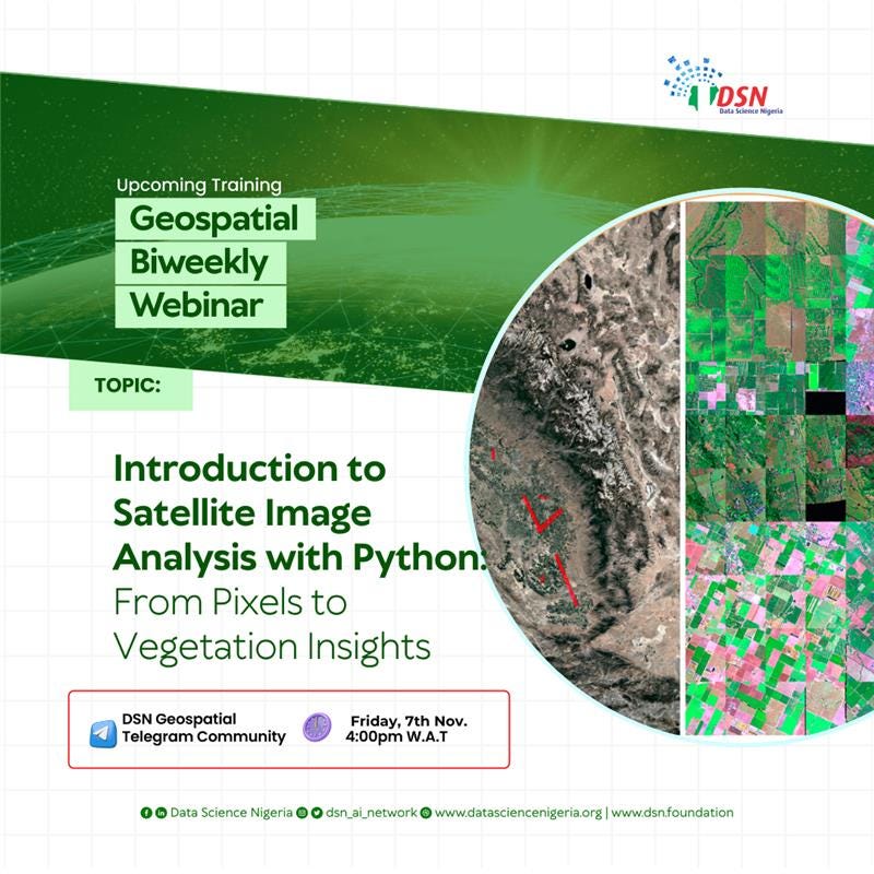
We’re thrilled to invite you to another insightful session in our Geospatial Biweekly Webinar Series! This week, we’ll be exploring:
Topic: Introduction to Satellite Image Analysis with Python: From Pixels to Vegetation Insights
Date: 7th November, 2025
Time: 4PM W.A.T
Venue: DSN General Telegram Community
This hands-on session will introduce you to the fundamentals of satellite image processing and analysis using Python, guiding you through the journey from raw pixel data to meaningful vegetation insights.
By the end of the session, you’ll be able to:
✅ Understand the structure and metadata of multispectral satellite imagery.
✅ Load and visualize multi-band images using rasterio and matplotlib.
✅ Compute and interpret the Normalized Difference Vegetation Index (NDVI) as a proxy for vegetation health.
✅ Clip imagery to an area of interest and summarize vegetation statistics.
Why Join?
a. Gain hands-on experience with real-world satellite data and analysis tools.
b. Strengthen your Python skills for geospatial applications.
c. Connect with a vibrant community of learners and geospatial practitioners.
Mark your calendar, invite a friend, and come ready to learn!
Join here>DSN General Telegram Community
See you there,
DSN Geospatial Community Team